Trip #12 – Sucia Island and on to Roche Harbor
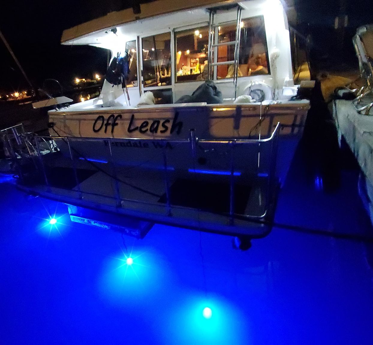
Trip #12 marks the 21st, 22nd, 23rd and 24th nights on the 4788 since purchasing it earlier this year.
We left after work Thursday evening into a fog bank. As we left the Sandy Point harbor entrance, we could see how serious the fog was as shown below with the Red / Green channel markers being partially obscured by the fog on our way out.
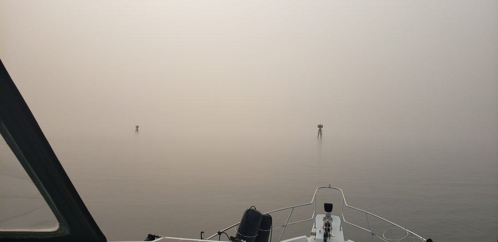
About 30 seconds after passing the channel markers the fog was so thick that we had really limited visibility. We could barely see past the bow of the boat.
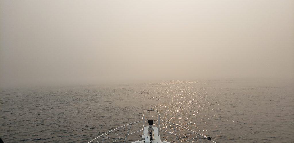
Fortunately our new Simrad chart plotter combined with the original radar on board we were able to make our way to Sucia island. The new radar is on backlog, but at least the old radar still works a bit.
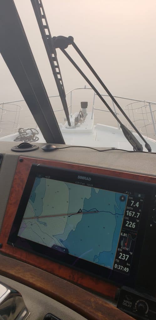
We were really happy to be both AIS transmitting and AIS receiving and charting on the Simrad charts. That combined with the radar gave us an idea of where the other ships and the islands were located.
After arriving at Sucia Island, the fog started to clear, but when we arrived at the dock, we had less than 100ft of visibility coming into Fossil Bay.
Here is how it looked just before sunset as the fog started to clear.
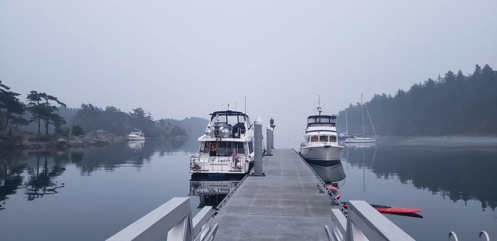
Saturday morning the fog had cleared even more, we had about a mile to 2 miles of visibility when we made our way to Roche Harbor.
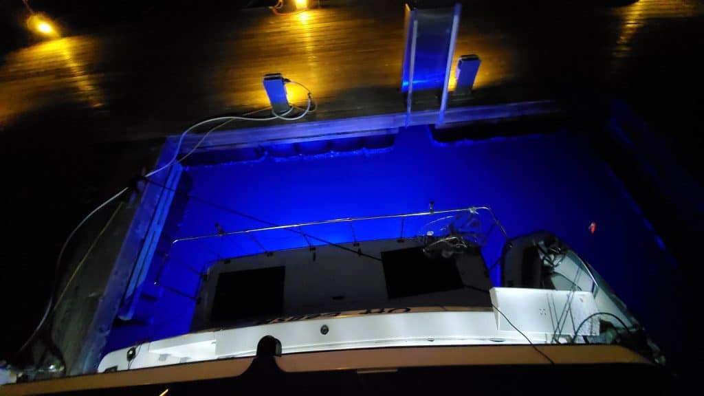
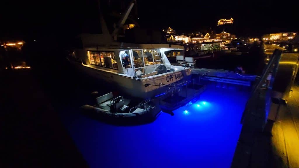
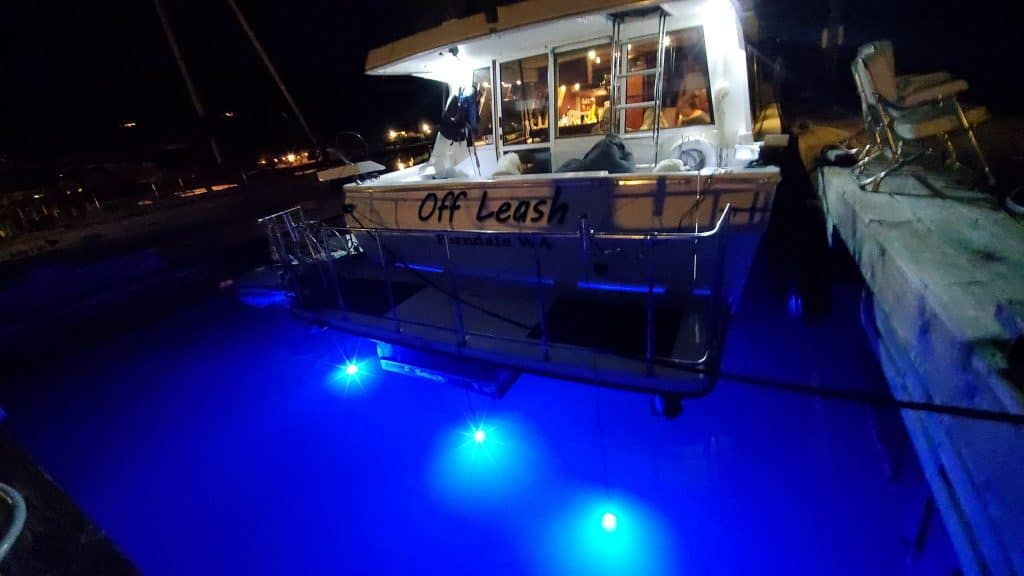
On the dock at Roche we tried out our new set of underwater LED’s combined with the original one to light up the water and look for fish.
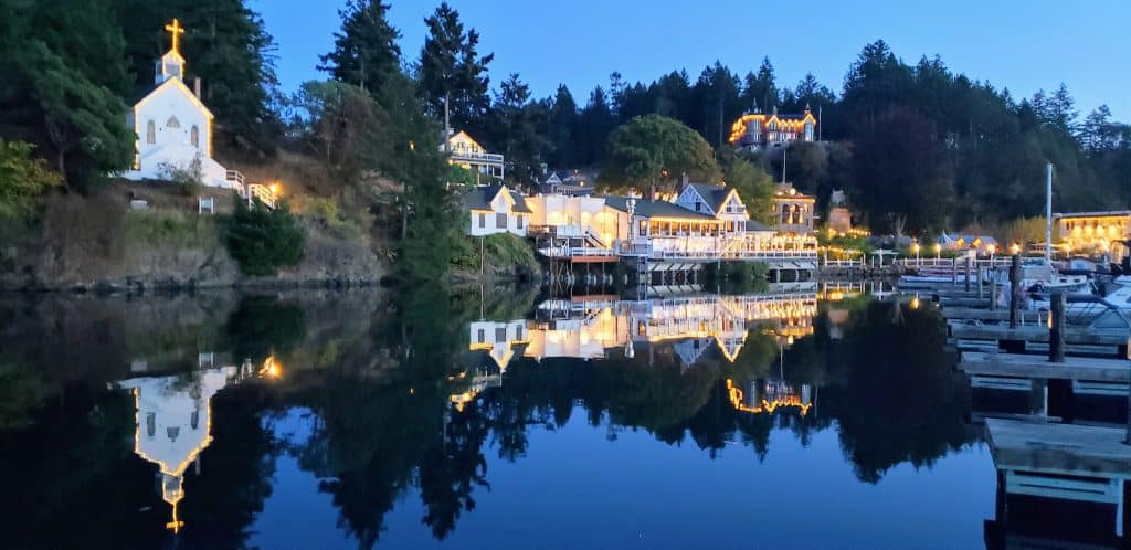
After arriving on Roche Harbor, the smoke and clouds finally cleared making for a beautiful day on Sunday, and into Sunday evening.
